Be the first to the hottest leads in your territory.
We photograph every house in your ZIP and score it on dozens of AI signals, so the leads worth your time are reached first.
neighborCRM
photographed Jul 26, 2026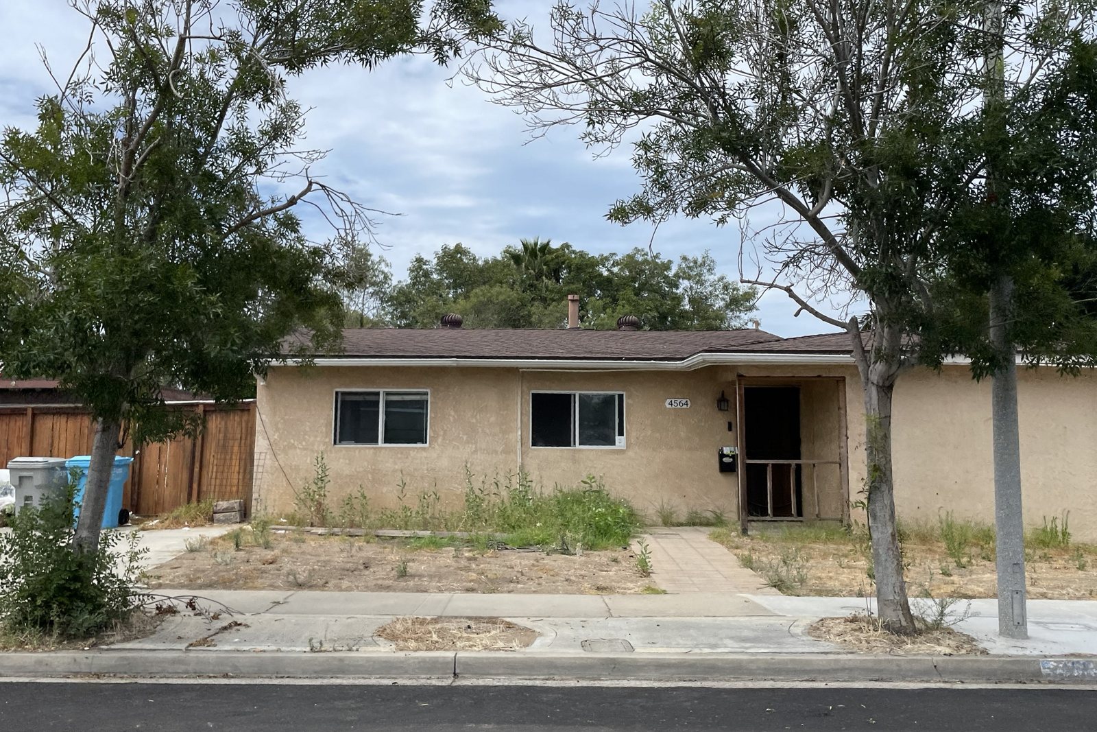
Everyone else
Google Street View · imagery from April 2019Every photo is taken from the public street by a driver on a planned route, several times a year.
Everyone else is working from the same Google Street View; years-old data says little about the current condition of the home.
How it works
We drive the ZIP
We drive every street in the ZIP, multiple times a year, photographing single-family houses. You get the real-time data on the condition of the home.
We score the image
State-of-the-art AI scores each house on dozens of signals.
You buy the ZIP
Buy a license to a ZIP code and be one of the few teams with access to its leads, or buy exclusive rights so nobody else gets in.
Leads publish monthly
Your first batch publishes the day you buy: highest scores first. Then you get a regular cadence of fresh leads, the same day every month.
Your team works them
Map, table, street photo and CSV. Everyone on your team sees the same leads.
Pricing that follows the ZIP
Each ZIP is dynamically priced on home sales and the expected number of leads. Licenses share a ZIP with a few teams; exclusive means nobody else can hold one.
License · monthly
Cancel anytime.
License · annual
Pay annually and get two months free.
Exclusive · annual
Buy exclusive rights to the data in a ZIP code.
How the price is worked out · See each ZIP's price in the catalog
Pick your ZIP.
5 San Diego ZIPs are live now; the rest can be pre-ordered.
See the catalog